Relief-shading in web-based 3D terrain maps — lab application
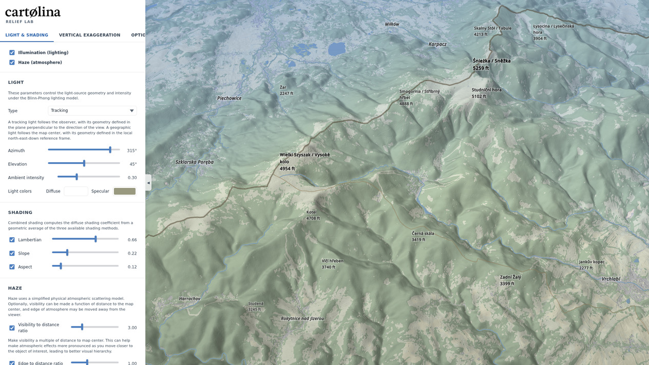
This interactive lab application, created for the XIV ICA Mountain Cartography Workshop, lets you experiment with various relief-shading capabilities in cartolina-js in real time. Use the control panel to adjust illumination direction, atmospheric parameters, and vertical exaggeration, and observe the effect on the rendered terrain.
 Open the Relief Lab demo →